
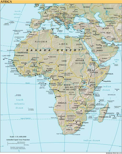
| 1. Africa | PDF (788 KB) | |
| 2. Antarctic Region | JPEG (70 KB) | PDF (769 KB) |
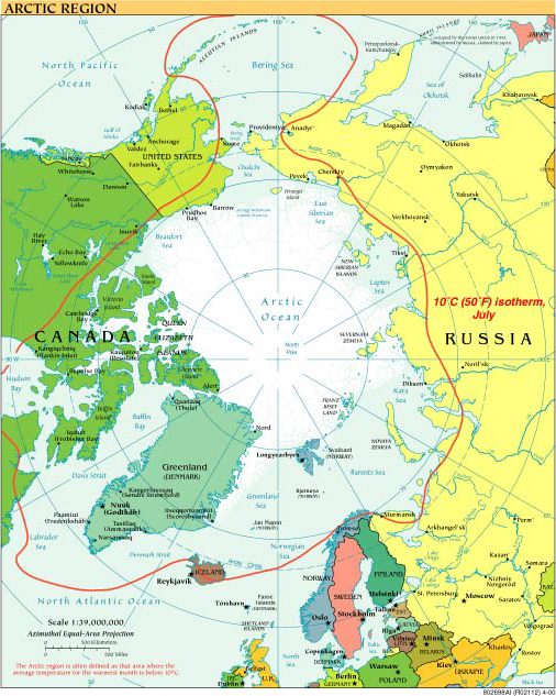
| 3. Arctic Region | JPEG (86 KB) | PDF (954 KB) |
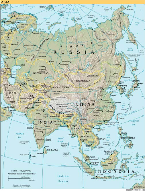
| 4. Asia | JPEG (95 KB) | PDF (866 KB) |
| 5. Central Africa | JPEG (141 KB) | PDF (845 KB) |
| 6. Central America and the Caribbean | JPEG (112 KB) | PDF (709 KB) |
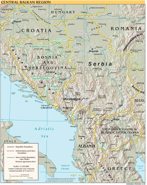
| 7. Central Balkan Region | JPEG (96 KB) | PDF (749 KB) |
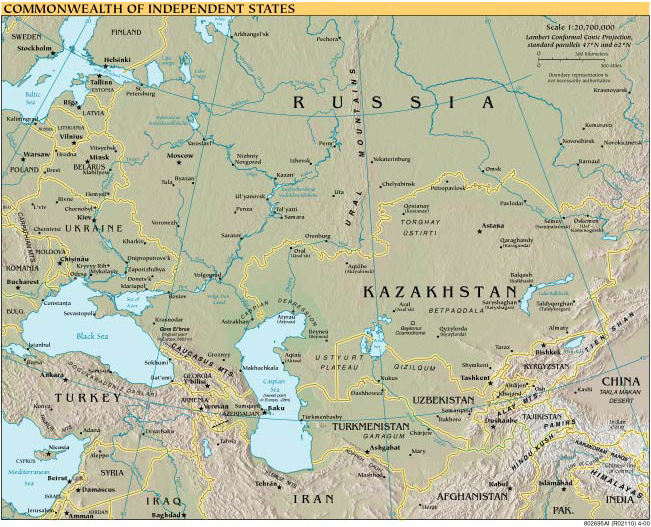
| 8. Commonwealth of Independent States | JPEG (94 KB) | PDF (1722 KB) |
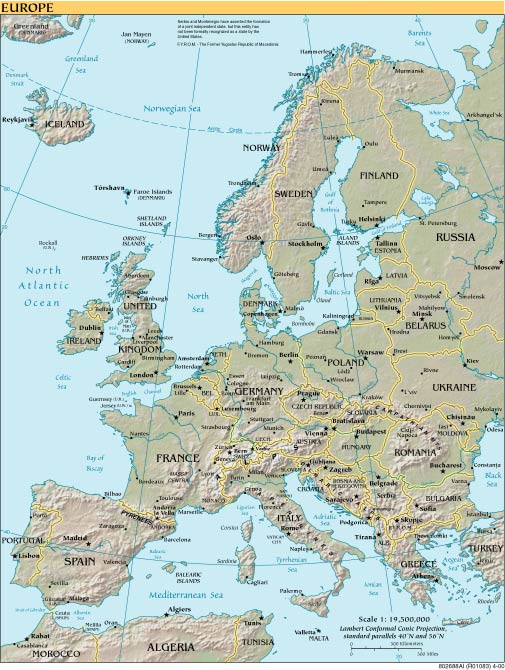
| 9. Europe | JPEG (87 KB) | PDF (831 KB) |
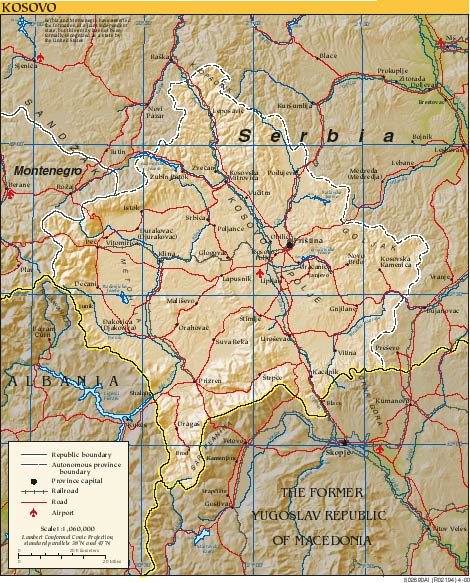
| 10. Kosovo | JPEG (103 KB) | PDF (661 KB) |
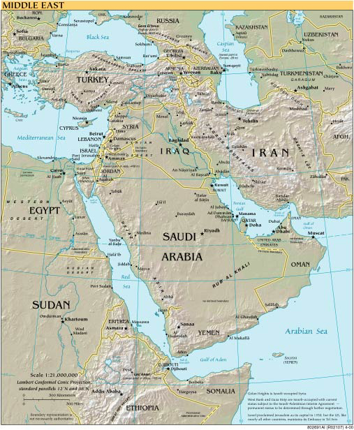
| 11. Middle East | JPEG (84 KB) | PDF (721 KB) |
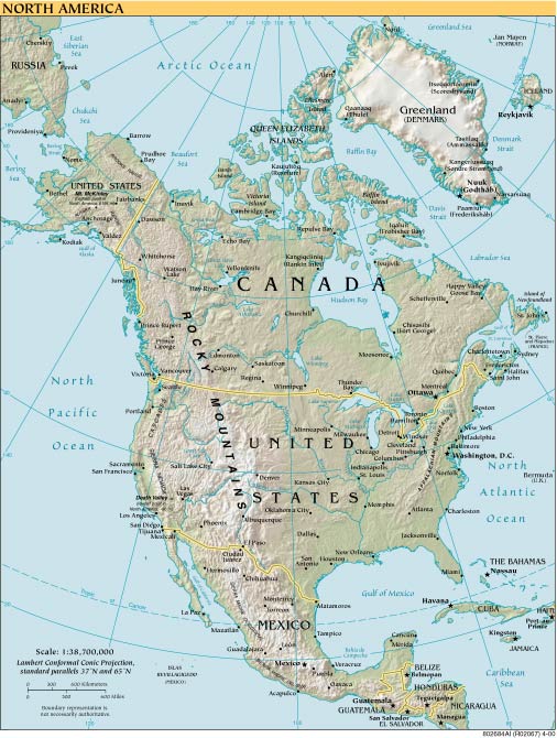
| 12. North America | JPEG (86 KB) | PDF (719 KB) |
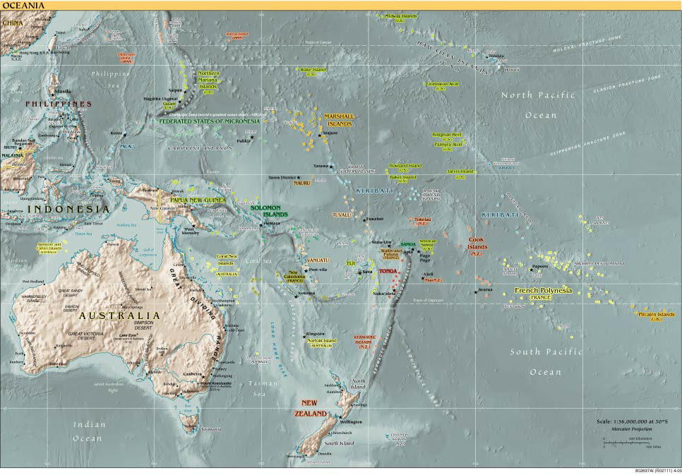
| 13. Oceania | JPEG (120 KB) | PDF (740 KB) |
| 14. Physical Map of the World | JPEG (763 KB) | PDF (12,592 KB) |
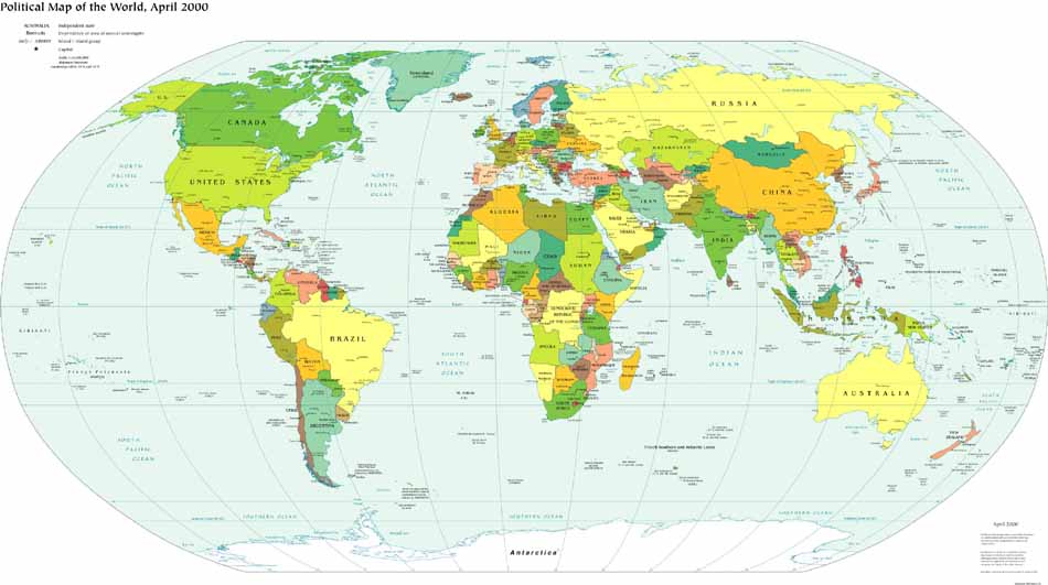
| 15. Political Map of the World | JPEG (513 KB) | PDF (2874 KB) |
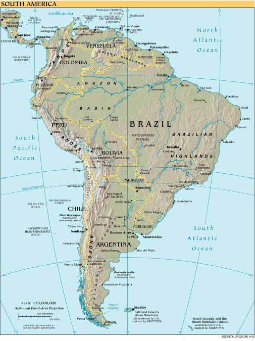
| 16. South America | JPEG (69 KB) | PDF (645 KB) |
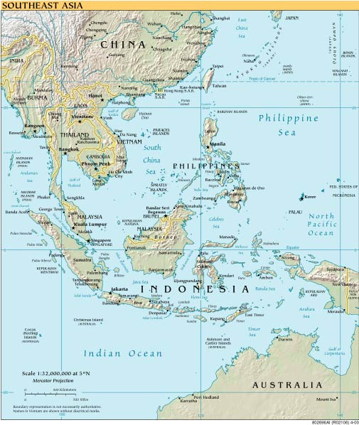
| 17. Southeast Asia | JPEG (70 KB) | PDF (645 KB) |
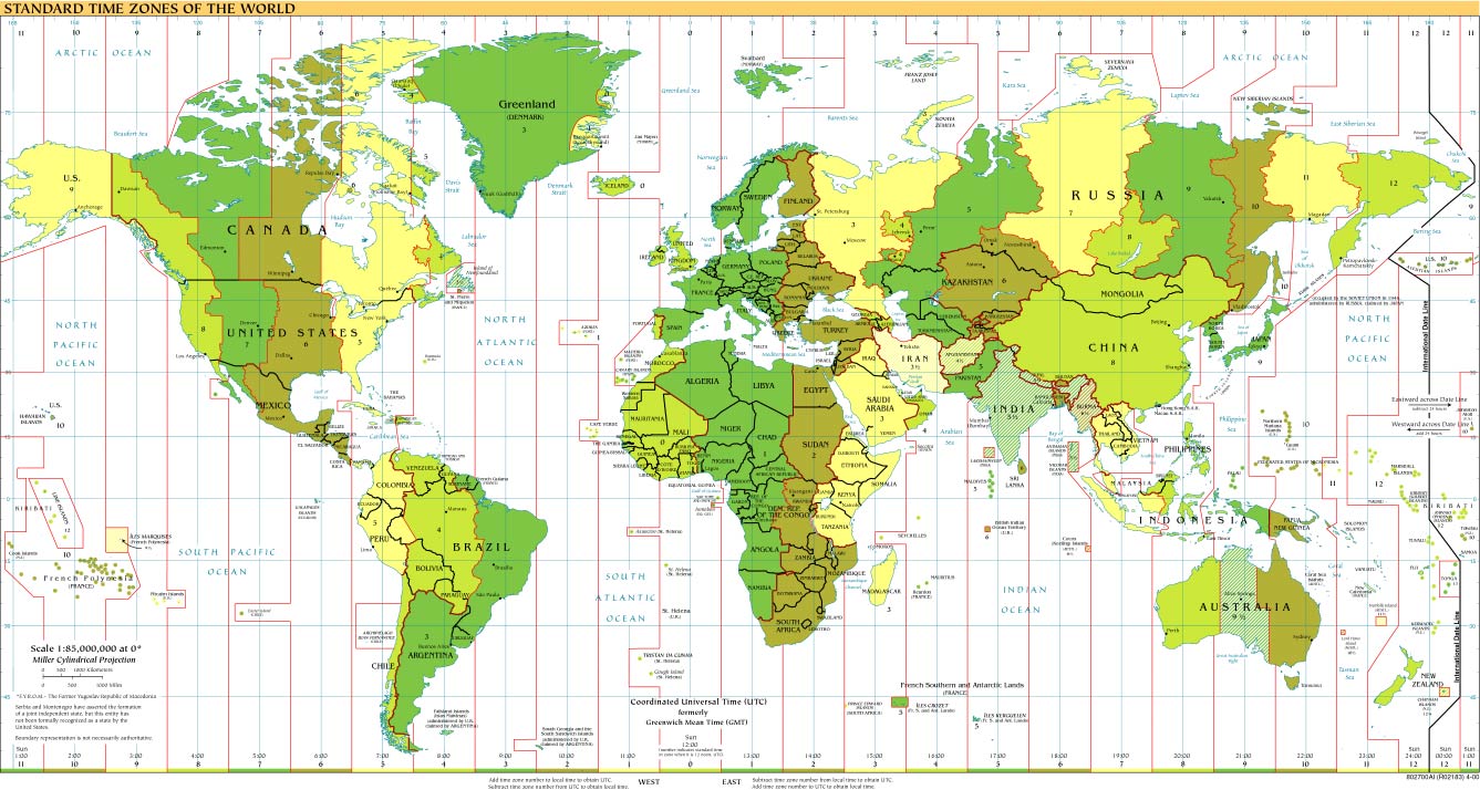
| 18. Standard Time Zones of the World | JPEG (214 KB) | PDF (1263 KB) |
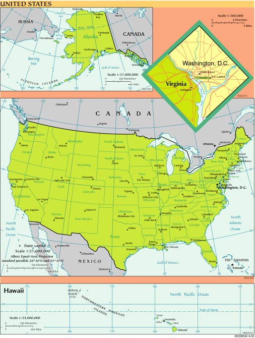
| 19. United States | JPEG (76 KB) | PDF (804 KB) |
| Note: | In order to view the PDF map files, you will need Adobe Acrobat Reader. Click here to download a free version. Use Adobe Acrobat Reader to print a map or to zoom in on specific areas of a map (e.g., zooming in enlarges type that is otherwise unreadable). In General, use the JPEG version as an overview and use the PDF version for more detail.. |